Rare Perth Sea fog
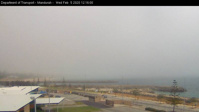
Mandurah webcam image at 12:16 PM. Image courtesy of the Department of Transport:
There was some fog and low clouds near the coast over the region today even at noon.
The fog and low clouds were associated with the moist marine layer trapped under a temperature inversion with a hot air mass above the marine layer.
Relative humidity at Rottnest Island was around 100% for hours this morning and the dew point reached some 24.9°C. This rivals the dew points around the equatorial regions.
You have a hot air mass moving lying over a colder surface, in this case the water, this cools the air near the surface creating a temperature inversion. The strong temperature inversion supresses vertical mixing, moistening the low levels of the atmosphere near the water surface as water evaporates off the waters and is trapped near the surface by the temperature inversion.
This phenomenon also sometimes appear over the coast of California.
ECMWF 11 AM vertical profile slightly west of Rottnest Island showing a marine inversion trapping moist air near the surface:

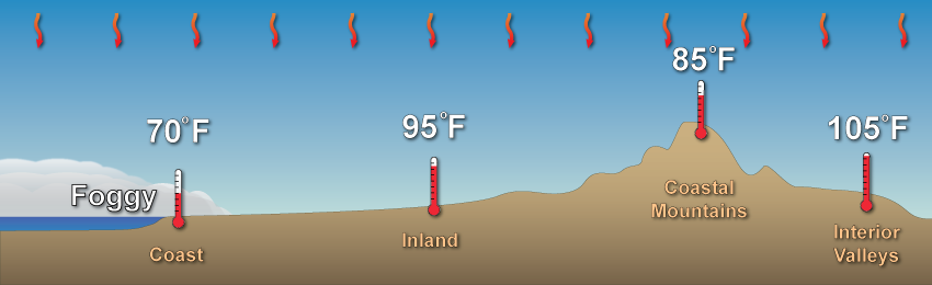
US NOAA schematic of marine layer near the coast (meant for California):
Further images:
Satellite loop:

Over Mullaloo. Image courtesy of Mullaloo Life Saving Club:
Images from Fremantle. Image courtesy of the ABC:


The fog offshore. Image courtesy of the ABC:
The fog offshore. Image courtesy of the ABC:

From Peasholm Dog Beach. Image courtesy of the ABC:

From Monument Hill War Memorial in Fremantle. Image courtesy of Andrew Ritchie:

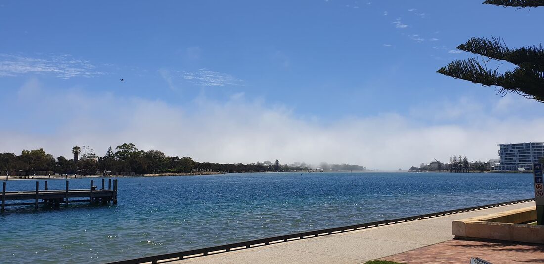
From Mandurah. Image courtesy of the Community News Group:
Looking off the coast. Image courtesy of the ABC:

From Sorrento. Image courtesy of David Baylis:

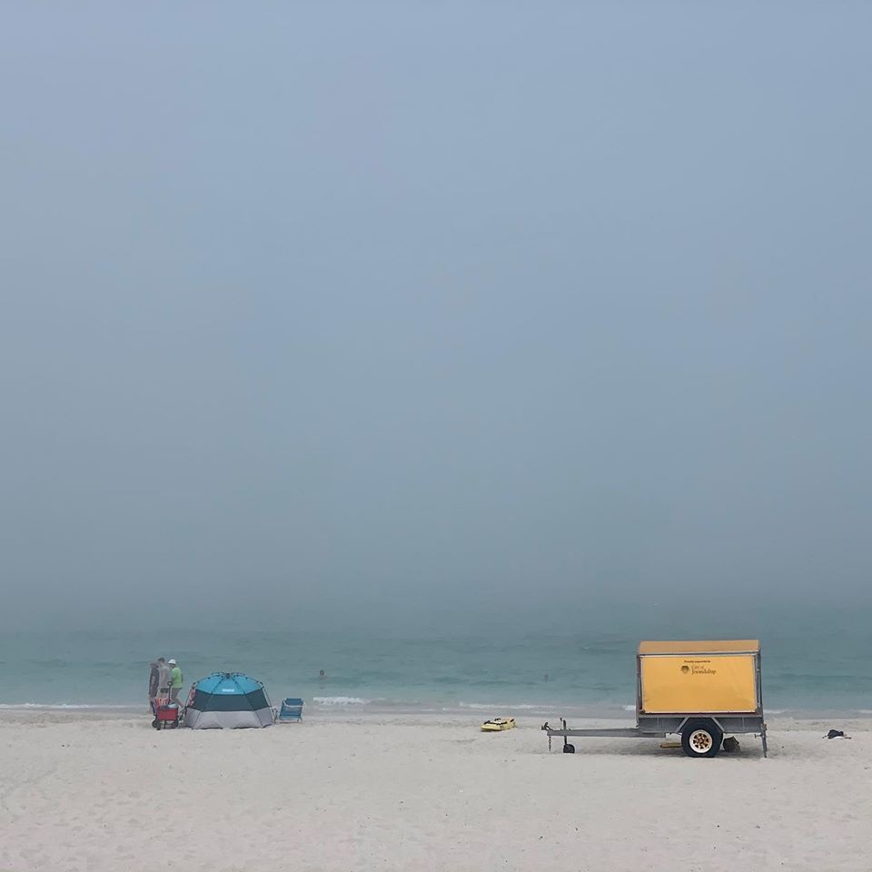
The fog approaching Mandurah. Image courtesy of Mandurah Mail:

